A road runs through it: U.S. 21 tells the region’s story
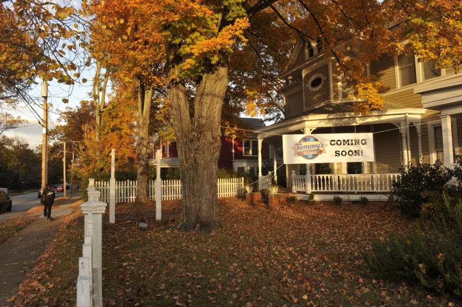
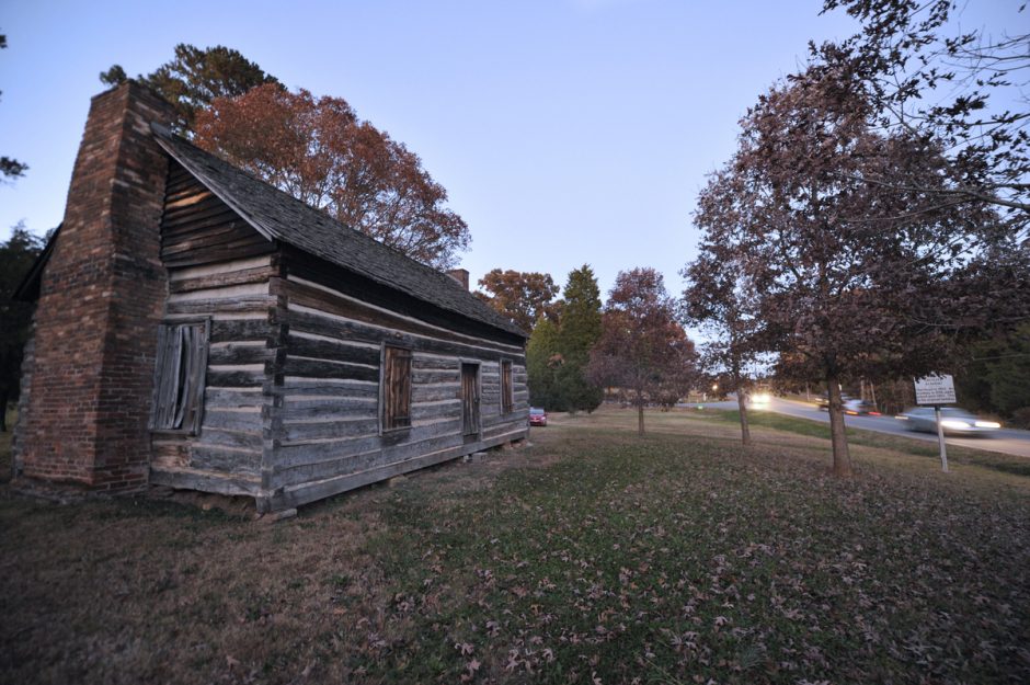
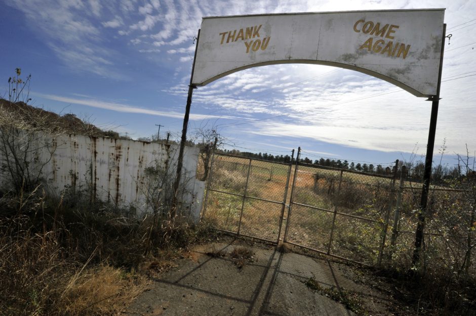
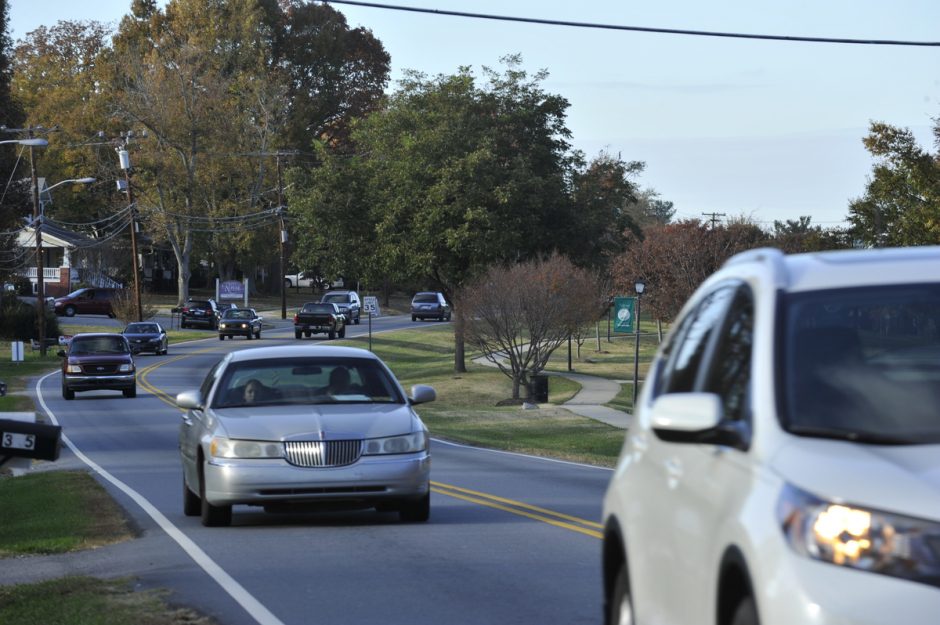
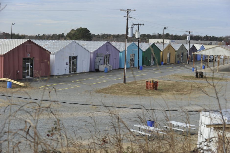
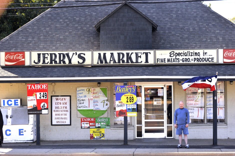
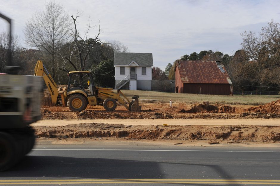
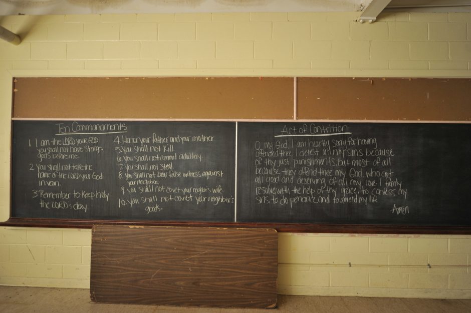
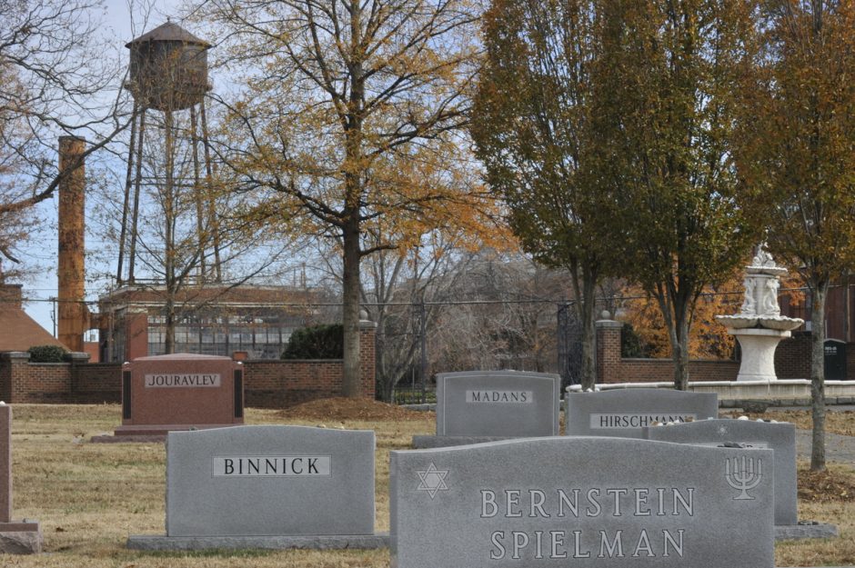
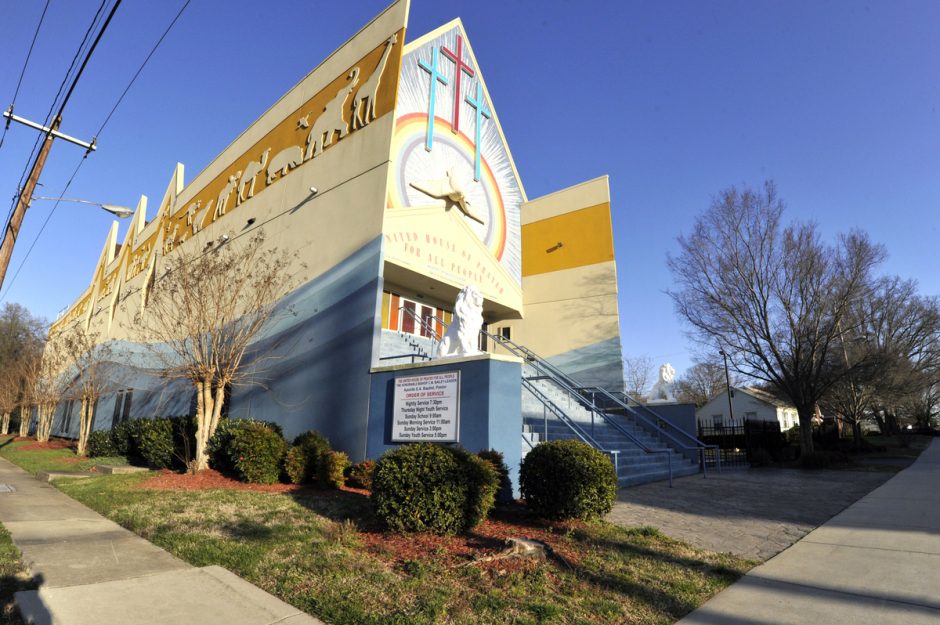
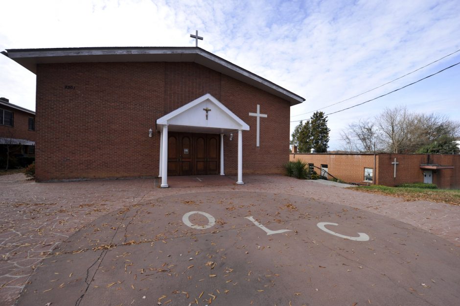
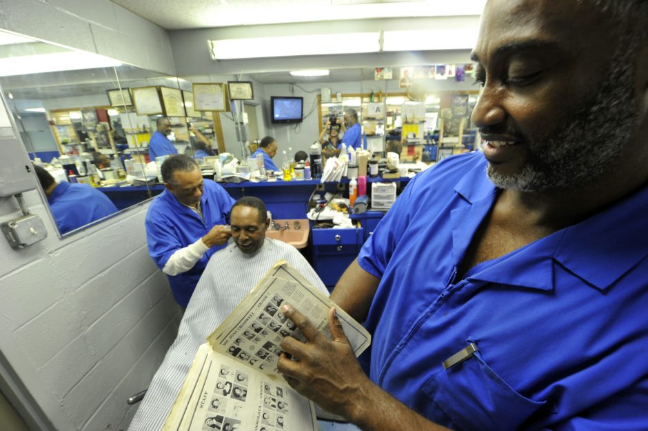
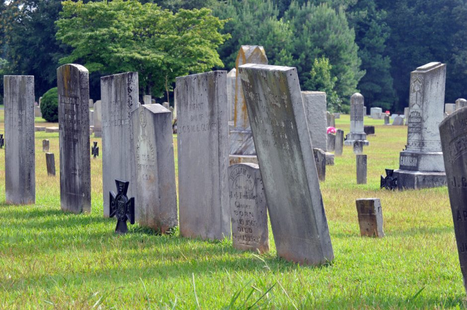
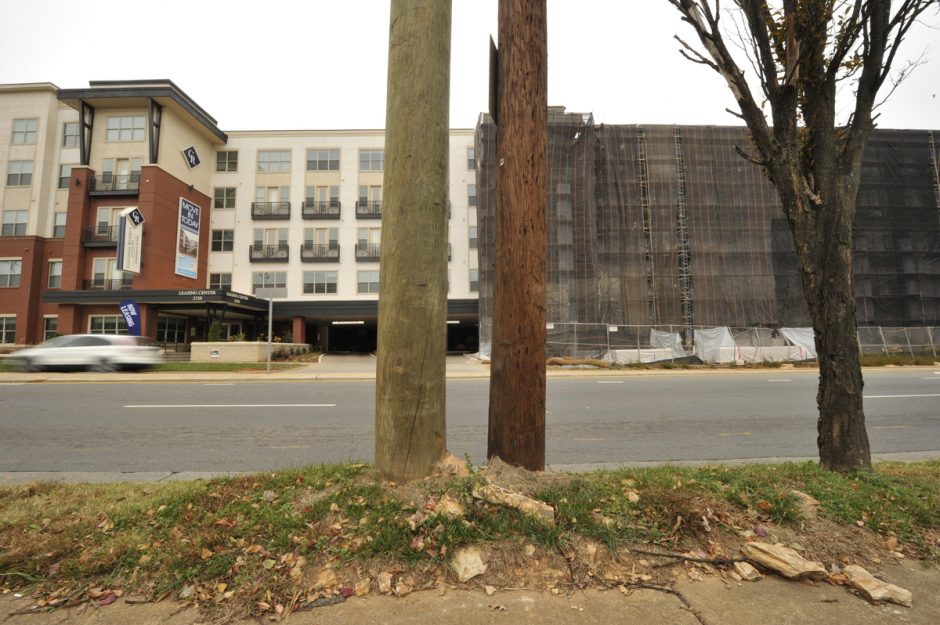
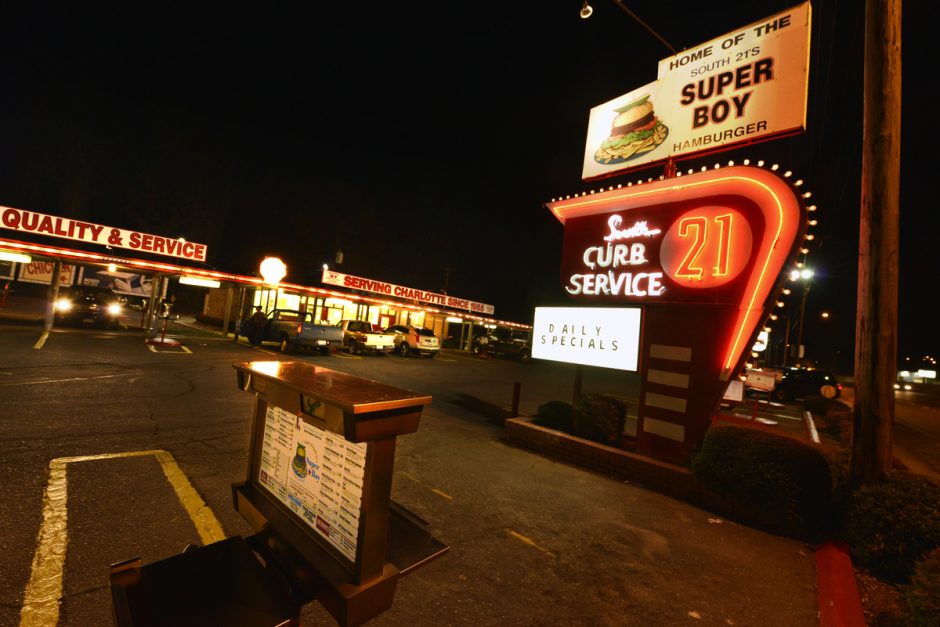
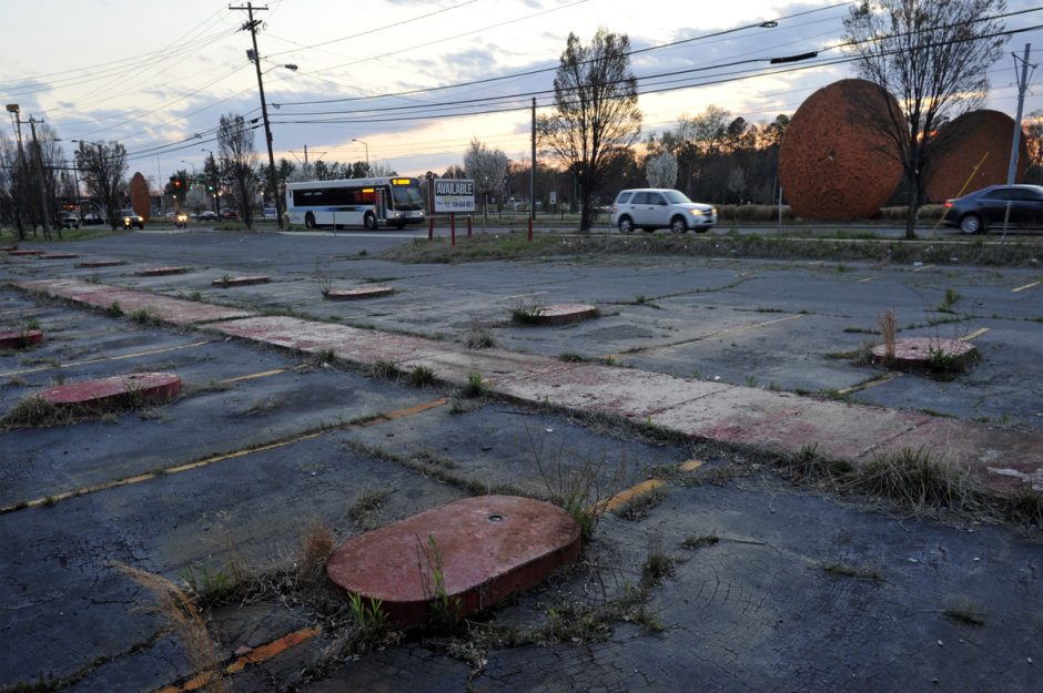
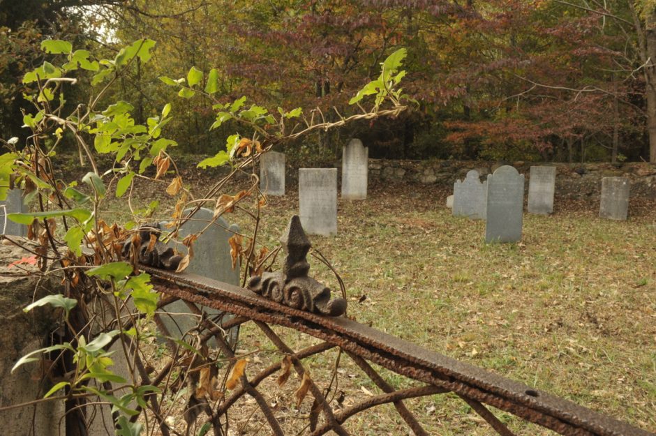
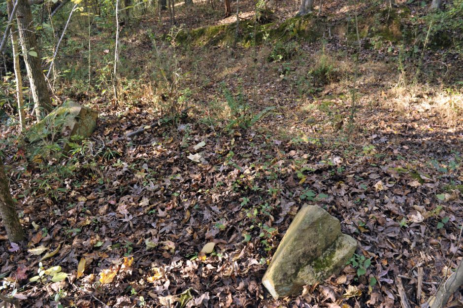
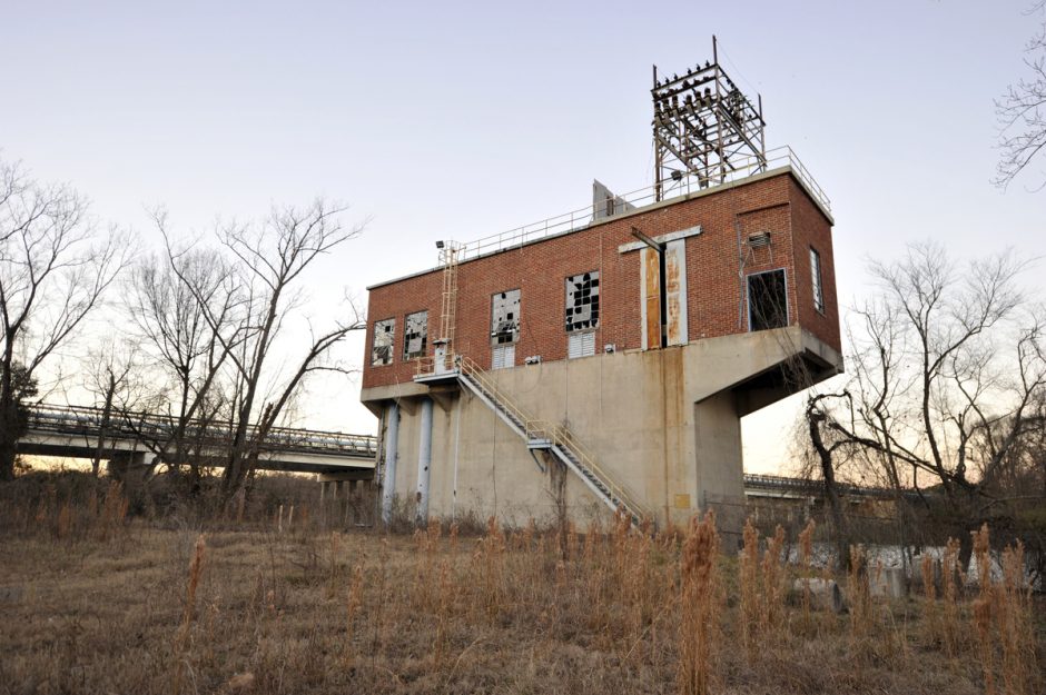
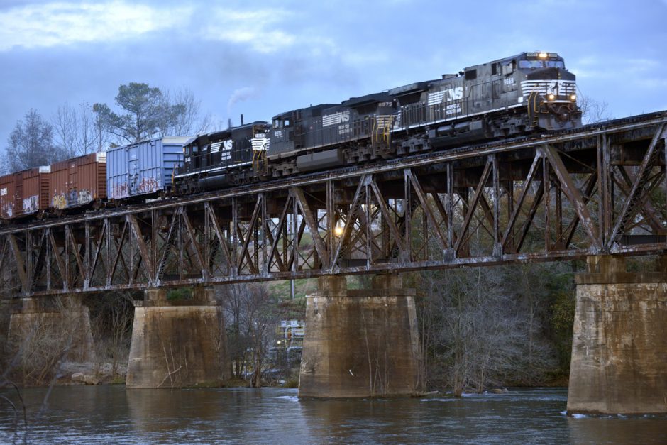
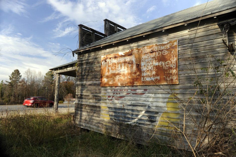
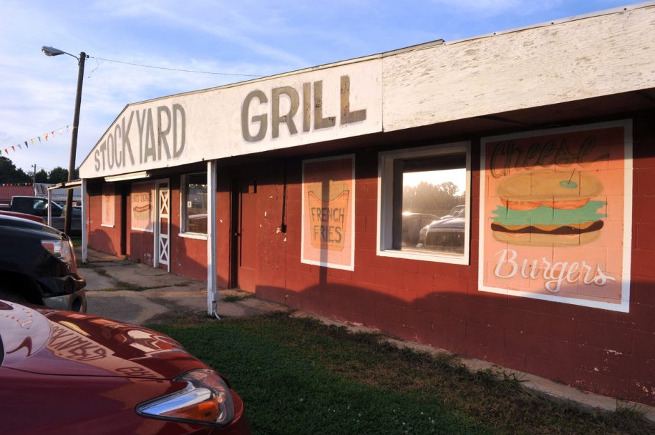
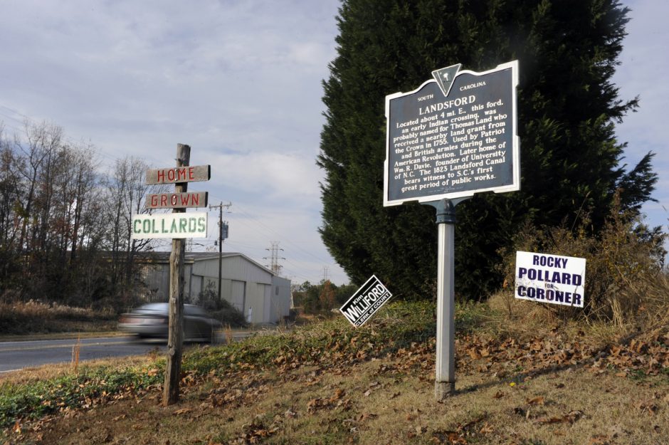
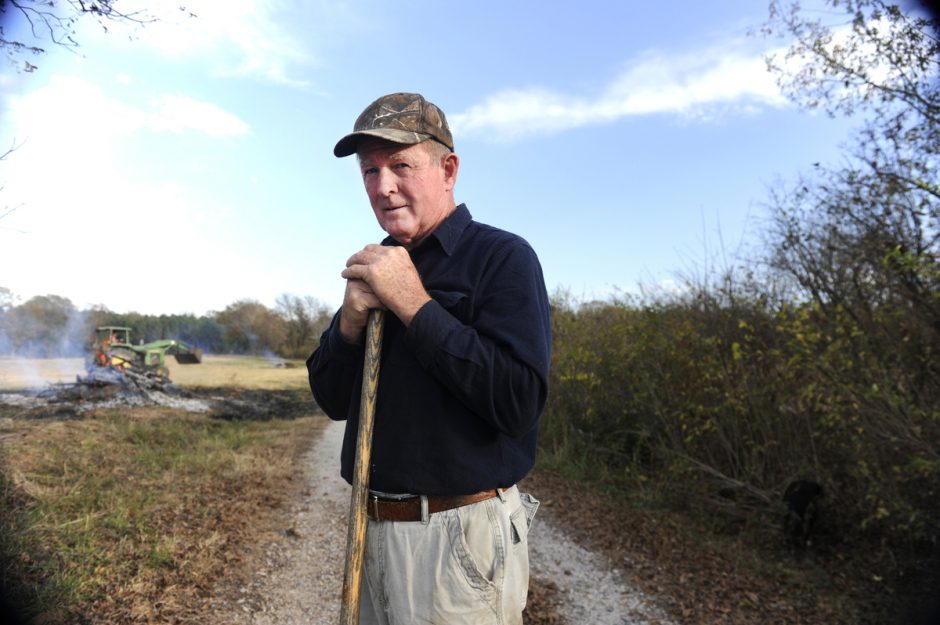
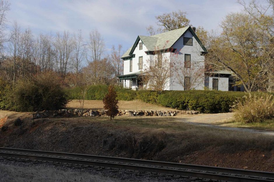
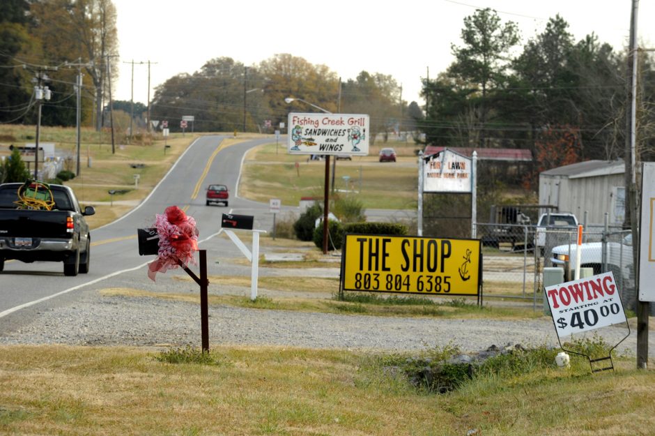
Photographer Nancy Pierce’s visual story of people and places along U.S. 21 offers a window into the way the road, like the region, has reinvented itself over time.
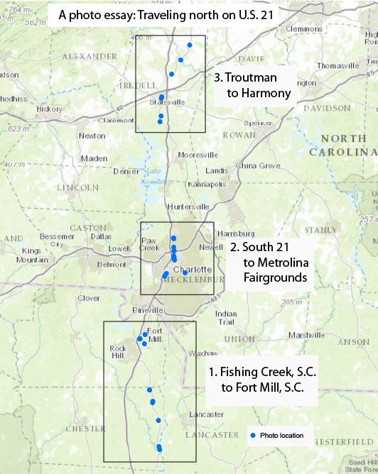
The map (left) shows the areas along U.S. 21 that the photo gallery shows. The links to the three inset areas give a PDF map with more details of the photo locations.
Inset maps from south to north are available by clicking: inset 1, inset 2, inset 3 (to download PDFs).
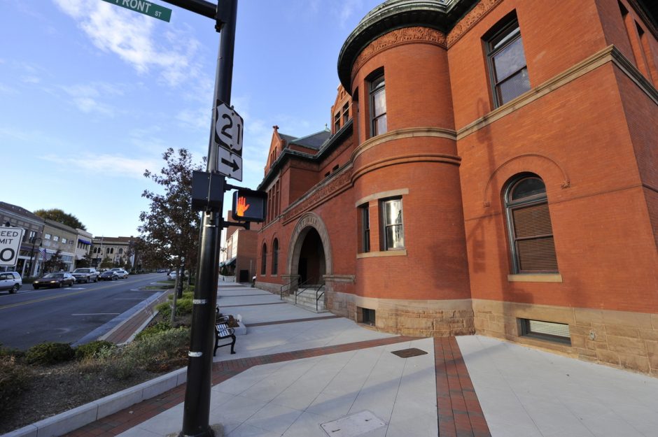
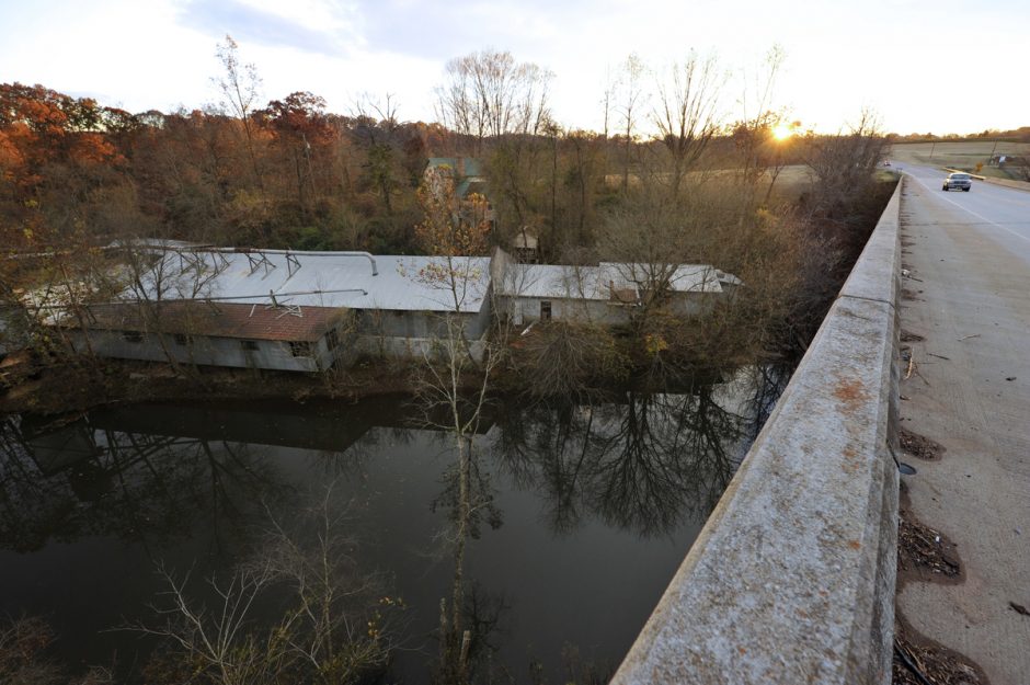
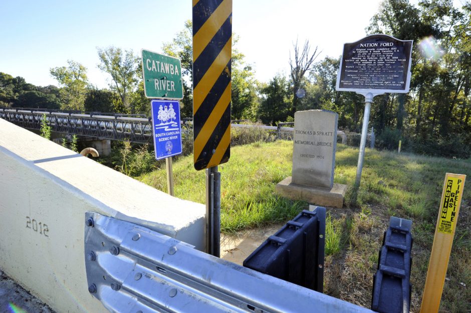
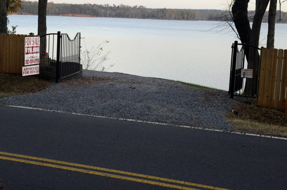
Center Street (U.S. 21), downtown Statesville: Built in 1892 as a U.S. Courthouse and Post Office, this is a fine example of Richardsonian Romanesque architecture. Owned by the City of Statesville since 1945, the building was recently renovated and contains City Hall. It is listed on the National Register of Historic Places.Catawba River Road just north of Great Falls, S.C.: In South Carolina, U.S. 21 is known as Catawba River Road, although for most of its route the river is not visible. Not so here. The Fishing Creek Lake impoundment has eroded so much that what was once a buildable lot is now just a thin strip of land between lake and road.